New Adventure
Around Every Corner
Hit the Trails
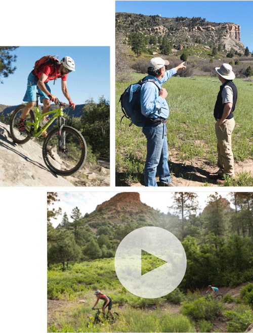
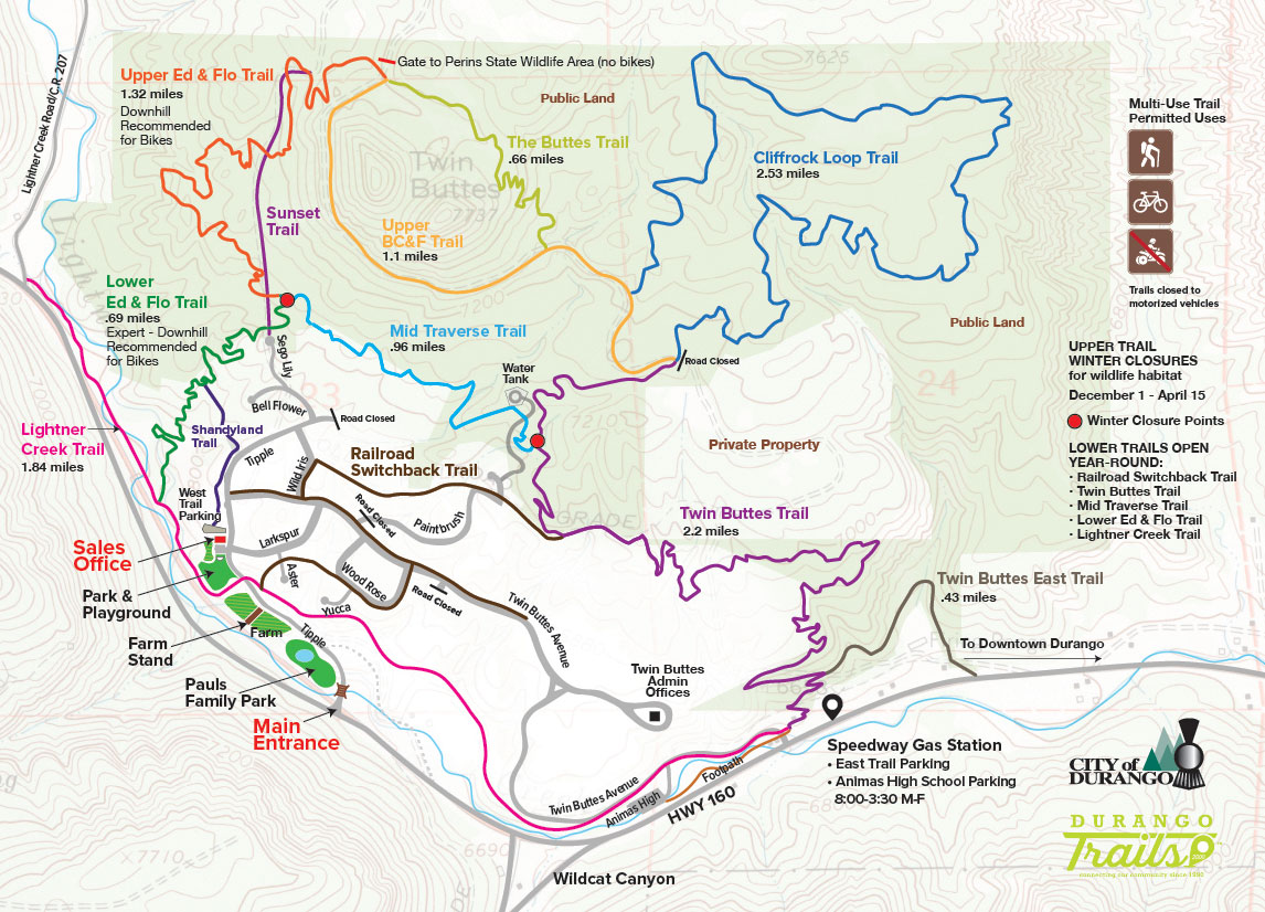
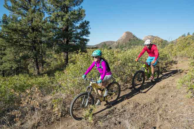
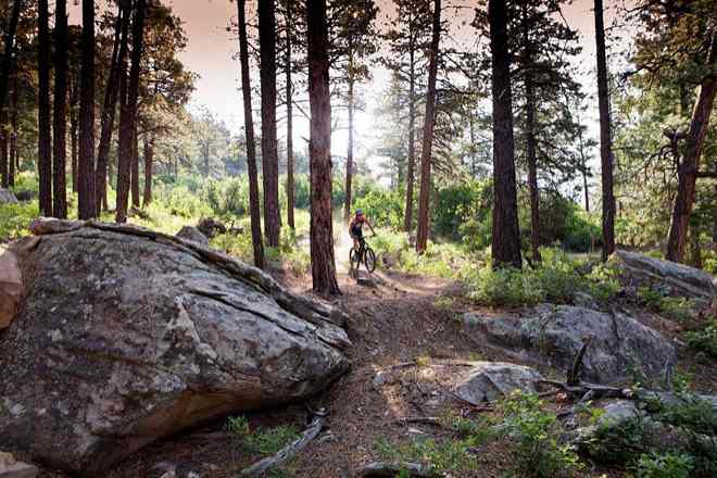
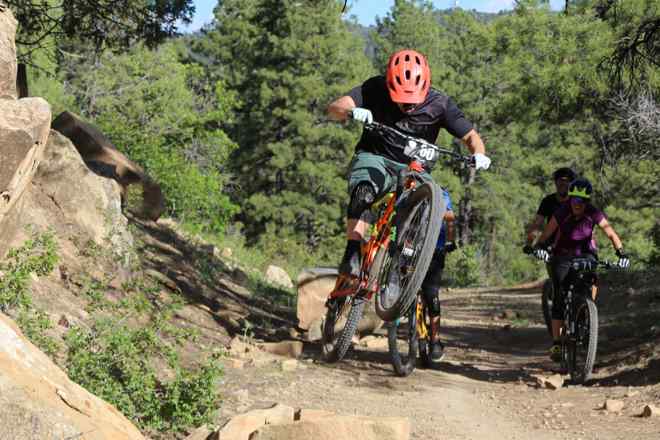
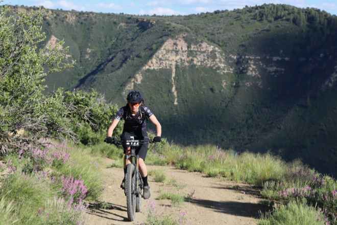
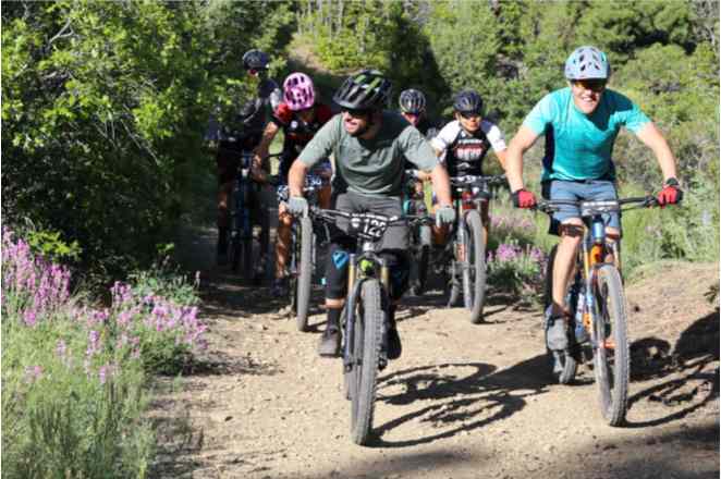
Fourteen miles of mountain biking and hiking trails weave above, around, and through the Twin Buttes neighborhood. Only the upper trails are closed for wildlife habitat from December 1 – April 15 (see map for closure points). Most of these trails were planned, built, and are maintained by local nonprofit Durango Trails.
Trailhead Parking Areas
New!
West Trailhead Parking:
Use Twin Buttes’ Main Entrance, 2/3 mile west of Speedway Gas Station on Hwy 160, up Tipple Ave. past Farm Stand, Historic Tram City Park, and Sales Office, on the left.
East Trailhead Parking:
Original trail parking area just west of Speedway Gas Station off Highway 160.
Twin Buttes Trail Segments
Choose your adventure
Lower Trails
Railroad Switchback
LOWER TRAIL, OPEN YEAR ROUND
This trail is the part of the old Boston Coal & Fuel Railroad bed, which made switchbacks up what is now the Twin Buttes neighborhood and the trail network above. The railroad serviced the old mine and town of Perins, northwest of Twin Buttes (see “Our Story” page). The Railroad Switchback trail begins as the 10-foot wide paved trail just down from Historic Tram City Park, where it makes its first switchback up into the neighborhood. Going under the Aster Lane bridge and gently climbing through a wooded area between homes, it comes out along Wood Rose Lane, then runs along Twin Buttes Ave. At the north end of Wild Iris Ave. it heads east as the old earthen railroad bed to the Twin Buttes Trail.
Twin Buttes
MOSTLY-LOWER TRAIL, LOWER SECTION OPEN YEAR-ROUND
Steep climb from the East Trail Parking area, crosses gravel road, then climbs again through pinion, juniper, and ponderosa. Connects to old railroad grade at junction with Railroad Switchback Trail. Note Winter Closure Point at intersection with Mid Traverse Trail: segment above that is closed for wildlife habitat from Dec. 1 – April 15.
System: Twin Buttes
Length (Miles): 2.2 miles
Ride Level: Difficult
Usage: HIKE/BIKE
Twin Buttes East
LOWER TRAIL, OPEN YEAR ROUND
Gentle climb. Trail starts from CDOT parking area, follows gravel road, then connects to the Twin Buttes Trail, avoiding that trail’s first steep climb from East Trailhead Parking Area.
System: Twin Buttes
Length (Miles): 0.43 miles
Ride Level: Moderate
Usage: HIKE/BIKE
Lightner Creek
LOWER TRAIL, OPEN YEAR ROUND
From East Trail Parking area, the Lightner Creek Trail cuts off of Twin Buttes Ave. a short distance above the entrance to Animas High School. It climbs gradually above the creek to the Twin Buttes neighborhood, where it crosses Tipple Avenue at Historic Tram City Park. It curves around the back of the park, then turns to dirt and drops down to a meadow before crossing and following Lightner Creek west to Lightner Creek Road.
System: Twin Buttes
Length (Miles): 1.84 miles
Ride Level: Easy
Usage: HIKE/BIKE
Mid Traverse
LOWER TRAIL, OPEN YEAR ROUND
Rolls and curves above the Twin Buttes neighborhood between Winter Closure Points at intersections with Twin Buttes Trail and Ed & Flo Trails.
System: Twin Buttes
Length (Miles): 0.96 miles
Ride Level: Moderate
Usage: HIKE/BIKE
Lower Ed & Flo
LOWER TRAIL, OPEN YEAR ROUND
For bikers, this is a fun downhill with tight switchbacks, banked turns and whoop-de-dos (hikers can avoid those by walking straight up or down between the turns). Includes wood bridge over rock with easy opt-out route to the side for the cautious riders. Least-appropriate trail for hikers, who must watch closely for bikers coming around downhill corners fast. Named after Ed & Flo Pauls, parents of Twin Buttes’ owners Glenn & Terri Pauls, who bought this land and donated it to the City of Durango.
System: Twin Buttes
Length (Miles): 0.69 miles
Ride Level: Moderate
Usage: HIKE/BIKE
Upper Trails
Upper Ed & Flo
UPPER TRAIL, CLOSED DEC. 1 – APR. 15
For bikers, good downhill skills required. Some steep and fast downhill through the ponderosas with tight turns and rock obstacles. Some smooth and curvy sections too. Much better for hiking than Lower Ed & Flo. Named after Ed & Flo Pauls, parents of Twin Buttes’ owners Glenn & Terri Pauls, who bought this land and donated it to the City of Durango.
System: Twin Buttes
Length (Miles): 1.32 miles
Ride Level: Difficult
Usage: HIKE/BIKE
Sunset
UPPER TRAIL, CLOSED DEC. 1 – APR. 15 (ABOVE WINTER CLOSURE POINT)
Old gravel road starting at top of Twin Buttes neighborhood, at Sego Lily cul-de-sac. Climbs gradually, then connects to Upper Ed & Flo Trail. Good for two people hiking side-by-side.
System: Twin Buttes
Length (Miles): TBA
Ride Level: Easy
Usage: BIKE
The Buttes
UPPER TRAIL, CLOSED DEC. 1 – APR. 15
For bikers, generally used as an uphill trail. Steep switchbacks through pinon pine and juniper leads into ponderosas, and the base of the eastern butte. A rest stop here provides a wonderful view to the east. Trail curves gradually downhill behind the buttes through the meadows to the northwest.
System: Twin Buttes
Length (Miles): 0.66 miles
Ride Level: Moderate
Usage: HIKE/BIKE
Upper BC&F
UPPER TRAIL, CLOSED DEC. 1 – APR. 15
This trail is the continuation of the old Boston Coal & Fuel Railroad bed. It gradually curves and climbs, traversing the south side of both buttes up high, with fantastic views. Perfect for side-by-side hiking or riding. Beyond the red gate at the top, it continues into Perins State Wildlife Area, open only to hikers between April 16 and November 30. Hike to the old mine and town of Perins, which the old railroad served.
System: Twin Buttes
Length (Miles): 1.1 miles
Ride Level: Moderate
Usage: HIKE/BIKE
Cliffrock Loop
UPPER TRAIL, CLOSED DEC. 1 – APR. 15
Moderate climbing on the east side through ponderosa, pinion, juniper, and gambel oak with smooth flat sections in open meadows. Great views of Durango to the east, Perins Peak to the north, and the twin buttes to the west. Steeper hills on the western section.
System: Twin Buttes
Length (Miles): 2.53 miles
Ride Level: Moderate
Usage: HIKE/BIKE
Photo Gallery
#TwinButtesTrails
Join the Fun!
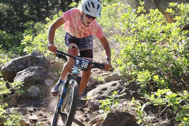
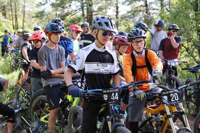
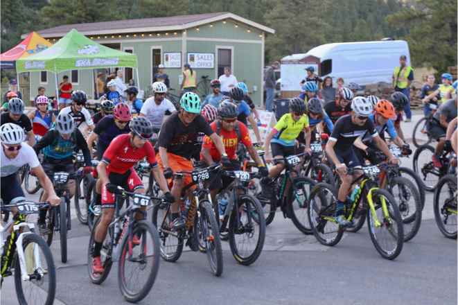
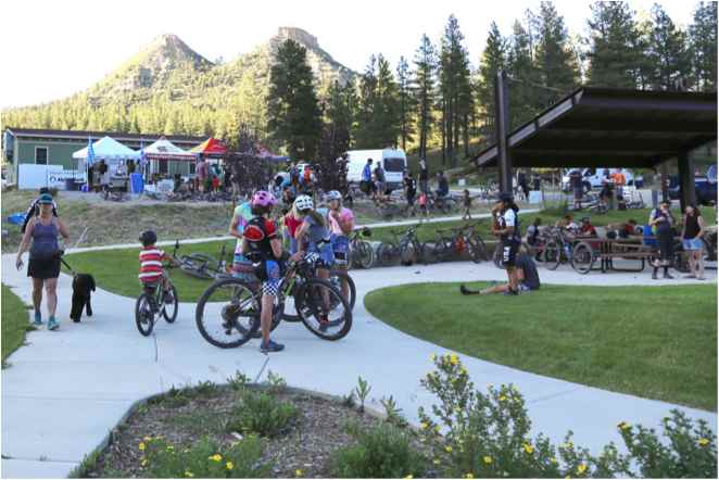
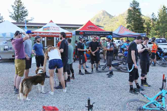
Every year we host a couple of different events on our trails.

